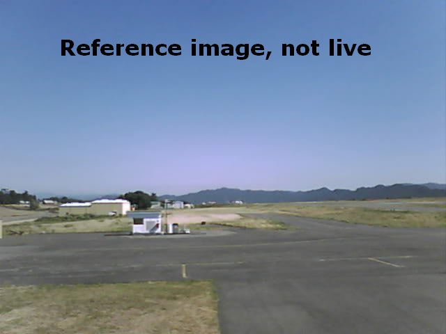
East Cam, Rohnerville (Fortuna, California) Airport - KFOT
This image refreshes every minute during the daylight hours. Clear Day Reference image.
This immediate area is used for aircraft parking and for MedEvac transfers. The group of buildings in the far distance behind the gas pumps is the CAL FIRE Rohnerville Air Attack Base. That facility is used to fill the S-2T air tankers with retardant. An OV-10 Bronco observation plane is also based there.
Clear and warm summer afternoons are an excellent time to watch this cam for the towering cumulus clouds over the rugged Yolla Bolly Wilderness. These thunderheads are a large reason the Air Attack Base exists. These clouds extend tens of thousands of feet into the atmosphere and you may see the typical anvil-shaped tops even though they are many miles away. These formations are caused by the hotter and rising inland air which pulls in moist air from the Pacific Ocean. The increasing elevation of the Coast Range causes the air to rise and the moisture to condense, resulting in convective updrafts. Cumulonimbus clouds may then form, supporting lightning and thunder.